Densification plans draw fire from public

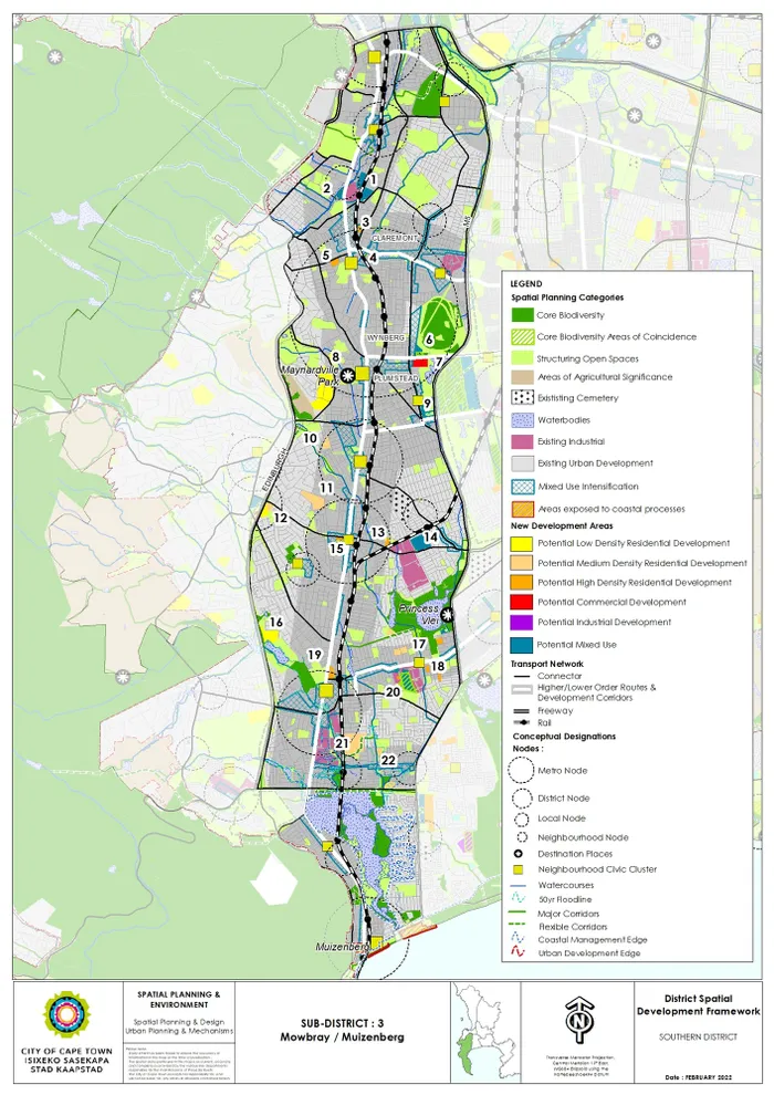
A number of low to medium density residential developments are scattered across a City map of development planning for the southern suburbs.
City blueprints for greater densification in parts of the southern suburbs have drawn a bitter response from residents who viewed them at a public meeting in Constantia.
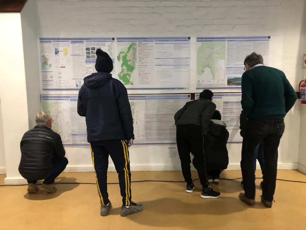
More than 100 residents attended the meeting at the Alphen Centre on Wednesday August 2. They examined the City’s planning strategy for the Sub-council 20 area, which includes Constantia, Wynberg, Westlake, Plumstead, Kirstenhof and Hout Bay.
Those who spoke to the Bulletin voiced concerns about the plans with some saying they favoured developers at the expense of ratepayers and that the push for densification failed to account for ageing water pipes and other creaky infrastructure.
The City’s draft integrated district spatial development frameworks (DSDFs) and environmental management frameworks (EMFs) are out for public comment. They describe they City’s long-term planning strategy for eight districts: Table Bay; Blaauwberg; Southern; Northern; Cape Flats; Helderberg; Tygerberg; Mitchell’s Plain, Khayelitsha; and Greater Blue Downs.
The DSDF and EMF specify the development requirements, at a district level, of the Municipal Spatial Development Framework (MSDF), which once adopted, will inform long-term spatial planning and urban development at a citywide level.
Essentially, these planning policies will inform and guide the City’s decisions when assessing development and land use applications, determining what our suburbs and the metropole will look and feel like in future.
In its vision and spatial strategy, the City says it has committed “to addressing spatial injustice, inequality and avoiding the creation of structural imbalances; to plan for inclusive economic growth and improve access to economic opportunities; manage urban growth, creating a balance between urban development and environmental protection”.
The City argues that Cape Town needs to respond to rapid urbanisation by focusing on inward growth and supporting dense, diverse and transport-orientated land use.
This approach allows for higher densities in the most accessible location along the major public transport routes and interchanges and close to economic opportunities as a first priority.
In the Southern district, according to City plans, Wynberg and Claremont, and the Main Road development route between them to the north and to the south are ripe for intensified development.
Wynberg resident Jeffrey Heath said he grasped the need for densification but feared the municipal infrastructure was not up to the task.
“The basic services of the city are failing. They are a hundred years old, cast-iron water pipes. We have had three water pipe bursts in recent record. And those pipes cannot take the densification, which has been brought in.”
Fairways resident Ron Jappie accused the City of “not playing open cards” with its drive for densification.
“You are ticking a box for public participation in 2015, 2018, but neglect to inform the public how you cleverly manoeuvred your densification programme. You don’t say come to a meeting so we can discuss densification. You subtly make changes on your charts without explaining why or when you did it. You moved most of your low-density plans into high density.”
Fairways Ratepayers’ Association chairman Kim Abrahams said, “The only persons benefiting are developers. We as ratepayers, must stop this now. We have areas where they can pump money into. But there is no future for small children in backyard dwellings yet we are talking about development. They’re keeping certain areas exclusive and they're moving everyone else down and dumping them elsewhere.”
Natural assets demarcated for protection are coloured in green on all draft maps. Ottery resident Avril Harding said the City plans appeared to protect wealthy areas and natural assets at the expense of poorer ones. “As you heard, the green must be preserved. Where is the green? Is the green in Mitchell’s Plain? Of course not. Is the green in Bonteheuwel? No.”
Mr Jappie said the plans did not address the cramped conditions in communities battling apartheid’s spatial legacy.
“You're doing nothing about it, but you want to come into our backyard and put up six-storey flats of the exact scale and model like you have done in Hanover Park,” he said.
Wynberg Residents’ and Ratepayers’ Association is also calling for more equitable environmental protection.
“We want gardens in the developments, we want green,” said WRRA representative Phillippa Duncan. “We don’t want to see a roof garden because the only person that benefits is the person who can afford the five billion rand flat on top of the development. We are going to hold the City accountable. We understand it has to happen, but we are going to make sure that the existing residents do not suffer.”
Some residents said the public participation process was a futile, box-ticking exercise.
“This is not a fair process,” Mr Abrahams said. “How many people should have been here this evening? How many people have access to computers to see there is public participation happening? How many people can read 300 pages?”
Kier Hennesy, the City’s principal planning professional, said community participation was valued.
“There is a large element of our city that is not well versed in this very technical material. How do we bridge that gap, collaboratively develop vision and put that into practice? I don’t have the answers. What we are saying is we review this plan every 10 years, but we are open to discussion in the interim between that. We are open and encourage communities to themselves tell us what their vision is.”
Sub-council 20 chairwoman Xanthea Limberg reminded residents that review drafts had been informed by a public-participation process that had happened in the middle of 2019.
“Those submissions were consolidated and informed the changes you see now. It presents updates and gives you further opportunity to make input as we jointly set out the spatial vision of our city.”
Public comment closes on Tuesday August 30. All of the relevant documents are available on the City’s website along with a form that can be used to submit a comment.
